-
National Geographic Beginner's United States Atlas
National Geographic
Library Binding (National Geographic Children's Books, Sept. 8, 2009)In the brand new Beginner’s United States Atlas National Geographic’s world-renowned cartographers, working with education consultants and geographers, have created a state-of-the-art United States atlas for children ages 6 to 10.This beautiful book is an engaging experience with fact-filled essays and spectacular photographs that will catch the curiosity of young readers. Large maps pinpoint the physical features, capitals, and other towns and cities of each state. Key points reflect the latest information about land and water, animals, and people and places. Children can access a wealth of information including state flags, birds and flowers.Throughout the atlas, maps, photographs, and text reinforce one another, making this an exciting round-the-country adventure and a fun-filled learning experience. This is a must-have addition to libraries, classrooms, and homes nationwide; when it comes to America, young minds deserve the guidance of the acknowledged experts in all matters national and all things geographic.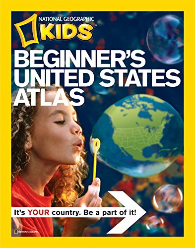 W
W
-
National Geographic Student World Atlas
National Geographic
Library Binding (National Geographic Children's Books, July 8, 2014)The new fourth edition of National Geographic's award-winning Student Atlas of the World is more fascinating and fact-filled than ever, and has gone INTERACTIVE with new digital extras, including scannable pages that link to photo galleries and quizzes. Dynamic, user-friendly content includes photos, facts, charts, graphics, and full-color political, physical, and thematic maps on important topics. From the cartographic experts at National Geographic comes the latest edition of its award-winning student atlas, with everything kids want and need to know about our changing world! W
W
-
NG Kids World Atlas by ~ National Geographic
by ~ National Geographic
Paperback (by ~ National Geographic, July 12, 2009)It's your planet! Learn it! Love it! Explore it! It's our global society, nothing can offer a better view of the world than an atlas by National Geographic. For a gift that provides endless opportunities of information and appreciation of our Earth, this is a top-notch resource. -- Chicago Sun-times V
V
-
National Geographic Kids Beginner's United States Atlas
National Geographic Kids
Library Binding (National Geographic Children's Books, July 12, 2016)Learning about America is an exciting adventure with the new US atlas for kids ages 5-8. Packed with maps, pictures, facts, and fun, it entertains as it educates. National Geographic's world-renowned cartographers have paired up with education experts to create maps of all 50 states, U.S. territories, Washington, D.C., and the nation. Large maps pinpoint the physical features, capitals, and other towns and cities of each state. Kids will discover the latest data and trends, colorful photography of each state and the Americans who live there. Key points reflect the latest information about land and water, animals, and people and places. Lively essays cover each region of the country. Front matter includes information on what maps are and what this atlas will teach young readers.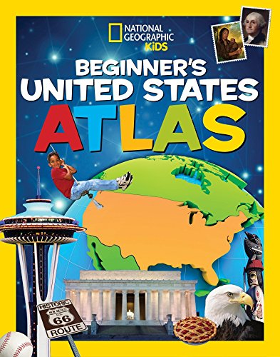 W
W
-
National Geographic Student World Atlas
National Geographic Kids
Library Binding (National Geographic Children's Books, July 9, 2019)The new fifth edition of National Geographic's award-winning atlas is more fascinating and fact-filled than ever! It's the definitive atlas for middle and high-school students to explore and use in the classroom, college prep, and at home.From the cartographic experts at National Geographic comes the latest edition of its award-winning student atlas, with everything kids want and need to know about our changing world. Dynamic, user-friendly content includes photos, facts, charts, graphics, and full-color political, physical, and thematic maps on important topics. Completely updated maps and statistics ensure that kids have all the latest information as they learn more about current events and become global citizens.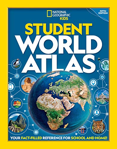
-
National Geographic Beginners World Atlas Updated Edition
National Geographic Society
Hardcover (National Geographic Children's Books, Nov. 1, 2005)All the political maps and statistics have been updated in this award-winning book. The society's world-renowned cartographers, working with education consultants and geographers have created a state-of-the-art world atlas for children ages 5 to 8. Large, easy-to-read maps introduce youngsters to the world and each of its continents. Full-color photographs, carefully selected for their appeal to young children, supplement the maps and make people, places, and natural wonders come to life. Through simple but fact-filled text, children begin exploring the world by learning about maps and how to read them. Then they begin their continent-by-continent tour. Each continent begins with a welcome from a young native child, followed by an illustrated physical map with brief bulleted discussions of land regions, water, climate, plants, and animals. Similar treatment is given to the political map except the topics are countries, cities, people, languages, and products. Each spread features full-color images that are keyed to the maps. Backmatter includes a map keyed to a chart of geographic superlatives, a glossary, a pronunciation guide, and an index.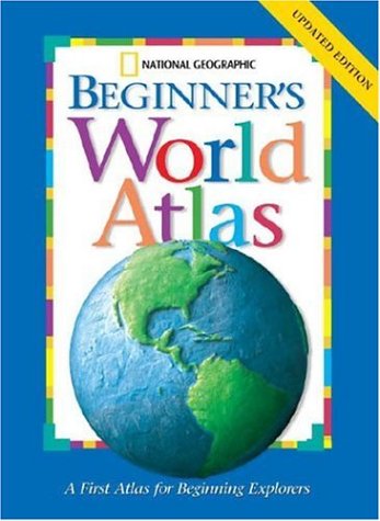
-
National Geographic Beginners World Atlas Updated Edition
National Geographic Society
Library Binding (National Geographic Children's Books, Nov. 1, 2005)All the political maps and statistics have been updated in this award-winning book. The society's world-renowned cartographers, working with education consultants and geographers have created a state-of-the-art world atlas for children ages 5 to 8. Large, easy-to-read maps introduce youngsters to the world and each of its continents. Full-color photographs, carefully selected for their appeal to young children, supplement the maps and make people, places, and natural wonders come to life. Through simple but fact-filled text, children begin exploring the world by learning about maps and how to read them. Then they begin their continent-by-continent tour. Each continent begins with a welcome from a young native child, followed by an illustrated physical map with brief bulleted discussions of land regions, water, climate, plants, and animals. Similar treatment is given to the political map except the topics are countries, cities, people, languages, and products. Each spread features full-color images that are keyed to the maps. Backmatter includes a map keyed to a chart of geographic superlatives, a glossary, a pronunciation guide, and an index. O
O
-
By National Geographic - National Geographic Beginner's United States Atlas
National Geographic
Hardcover (National Geographic Children's Book, Sept. 23, 2009)None W
W
-
National Geographic Beginners World Atlas Updated Edition
National Geographic Society
Library Binding (National Geographic Children's Books, Nov. 1, 2005)All the political maps and statistics have been updated in this award-winning book. The society's world-renowned cartographers, working with education consultants and geographers have created a state-of-the-art world atlas for children ages 5 to 8. Large, easy-to-read maps introduce youngsters to the world and each of its continents. Full-color photographs, carefully selected for their appeal to young children, supplement the maps and make people, places, and natural wonders come to life. Through simple but fact-filled text, children begin exploring the world by learning about maps and how to read them. Then they begin their continent-by-continent tour. Each continent begins with a welcome from a young native child, followed by an illustrated physical map with brief bulleted discussions of land regions, water, climate, plants, and animals. Similar treatment is given to the political map except the topics are countries, cities, people, languages, and products. Each spread features full-color images that are keyed to the maps. Backmatter includes a map keyed to a chart of geographic superlatives, a glossary, a pronunciation guide, and an index.
O
-
National Geographic Beginner's United States Atlas
National Geographic
Library Binding (National Geographic Children's Books, March 15, 1858)None W
W
-
National Geographic Beginner's United States Atlas by National Geographic
National Geographic
Hardcover (National Geographic Children's Books, Aug. 16, 1828)None
W